The Process
What We Receive & What We Create
Every project starts with a close read of the land itself. We analyze elevation contours, natural drainage, tree lines, sun exposure, and existing access to determine what will feel most at home on your parcel—then we render it into a finished vision you can share, permit, and build from.
▶ Input
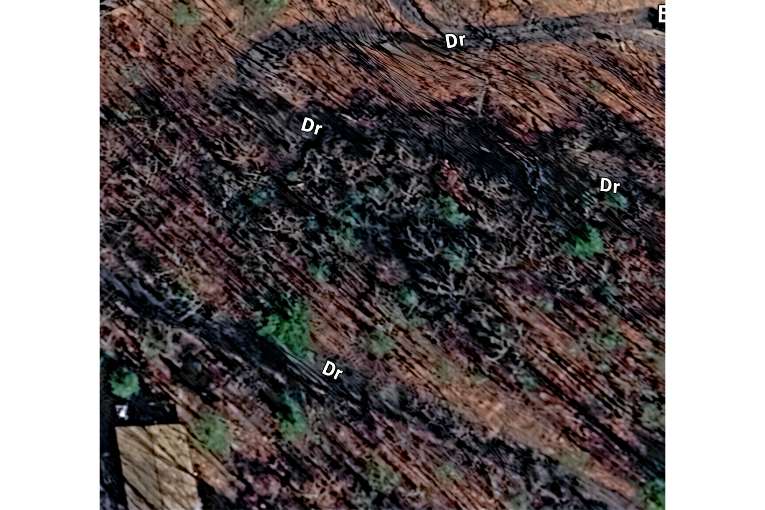
What We Received
A high-resolution topographic aerial showing the parcel's terrain, road access, and existing vegetation.
✨ Output
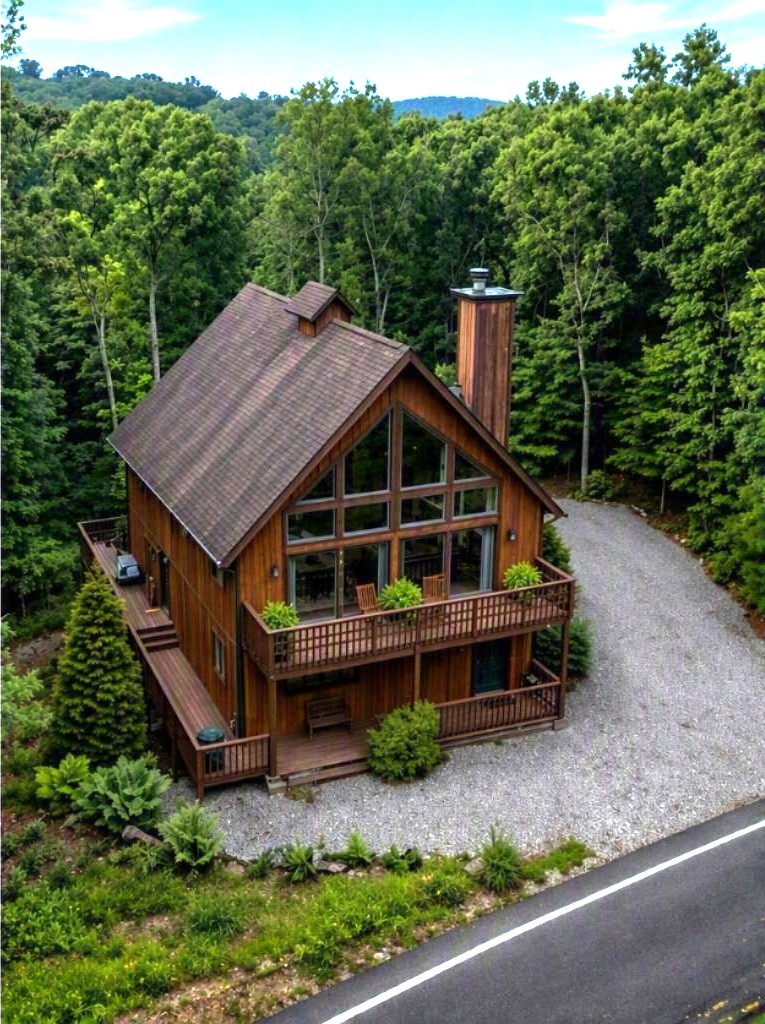
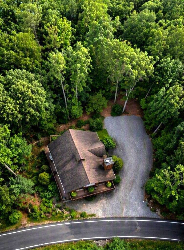
What We Transformed It Into
A site-specific A-frame design rendered from two perspectives—street-level approach and overhead site plan—tailored to the natural contours of this exact parcel.